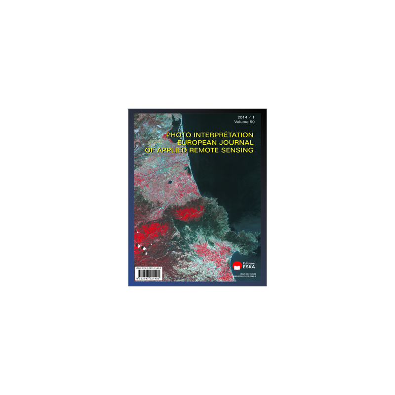


Observation of impacts of transfering the forest management to local communities using multitemporal Landsat TM satellite images: the case of Didy in Alaotra-Mangoro region, Madagascar
Mining and metallurgical archaeology in Bolivia using satellite imagery for prospecting arid regions
 Security policy
(edit with the Customer Reassurance module)
 Delivery policy
(edit with the Customer Reassurance module)
Contents
Solofoarisoa RAKOTONIAINA, Pascal RAKOTOMANDRINDRA, Sedraniaina RANAIVOARIMANANA, Francia RAHAJASON, Solofo RAKOTONDRAOMPIANA
Observation of impacts of transfering the forest management to local communities using multitemporal Landsat TM satellite images: the case of Didy in Alaotra-Mangoro region, Madagascar
Florian TEREYGEOL, Jean-Paul DEROIN, Pablo CRUZ, Ivan GUILLOT, Jean-Charles MEAUDRE
Mining and metallurgical archaeology in Bolivia using satellite imagery for prospecting arid regions