
 POUR COMMANDER
Contactez les Editions ESKA - par téléphone 0142865565 - par mail congres@eska.fr
 CGV
CGV
Consultez nos Conditions Générales de Vente
ABSTRACT
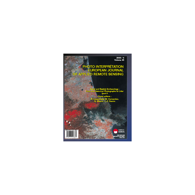
The paper concerns a part of the activity of the Istituto per i Beni Archeologici e Monumentali (IBAM) in the “Iraq Virtual Museum” Project of the Consiglio Nazionale delle Ricerche (CNR); in particular, it is focused on the activities for the creation of the section “Archaeological Sites”, finalized to the contextualization of finds stored in the Baghdad Museum. During this work the contribution of high resolution satellite images (Ikonos-2, QuickBird-2, WorldView-1) was very important, which were taken in 2001-2008 and used to document the modern situation of the archaeological areas and for monitoring their pre/post second Gulf War situations; very important were also the high resolution satellite photos taken by USA spy satellites in 1960s and 1970s, that are useful for monitoring the transformations of the most important archaeological Iraqi areas in the last 30-40 years, before the first Gulf War. The multitemporal remote sensing data used in the Project for the contextualization of archaeological finds, also allowed to discover new data about ancient topography, urban layout and paleo-environmental context of many ancient cities and archaeological areas; for the study of these sites and territories some aerial photos are also used, taken in the 1920s, 1930s and 1940s by RAF pilots. In some cases, instead, the orthorectification of the recent satellite images and the vectorization of all archaeological remains and traces visible in the satellite images, allowed the upgrade of existing archaeological maps with new data about ancient urban layouts, monuments and roads. An illustrative example is that of Seleucia on the Tigris, whose urban layout has been studied in the 20s, 30s and 60s of the 20th century with the use of aerial photographs; the analysis and processing of several satellite images, taken in different moments between 1965 and 2007, allowed to acquire new data on the regular outline of the city’s blocks, and to create a new archaeological plan of the site.
KEYWORDS
Archaeology, Monitoring, Multitemporal, High Resolution Satellite Images, Iraq, Seleucia on the Tigris.